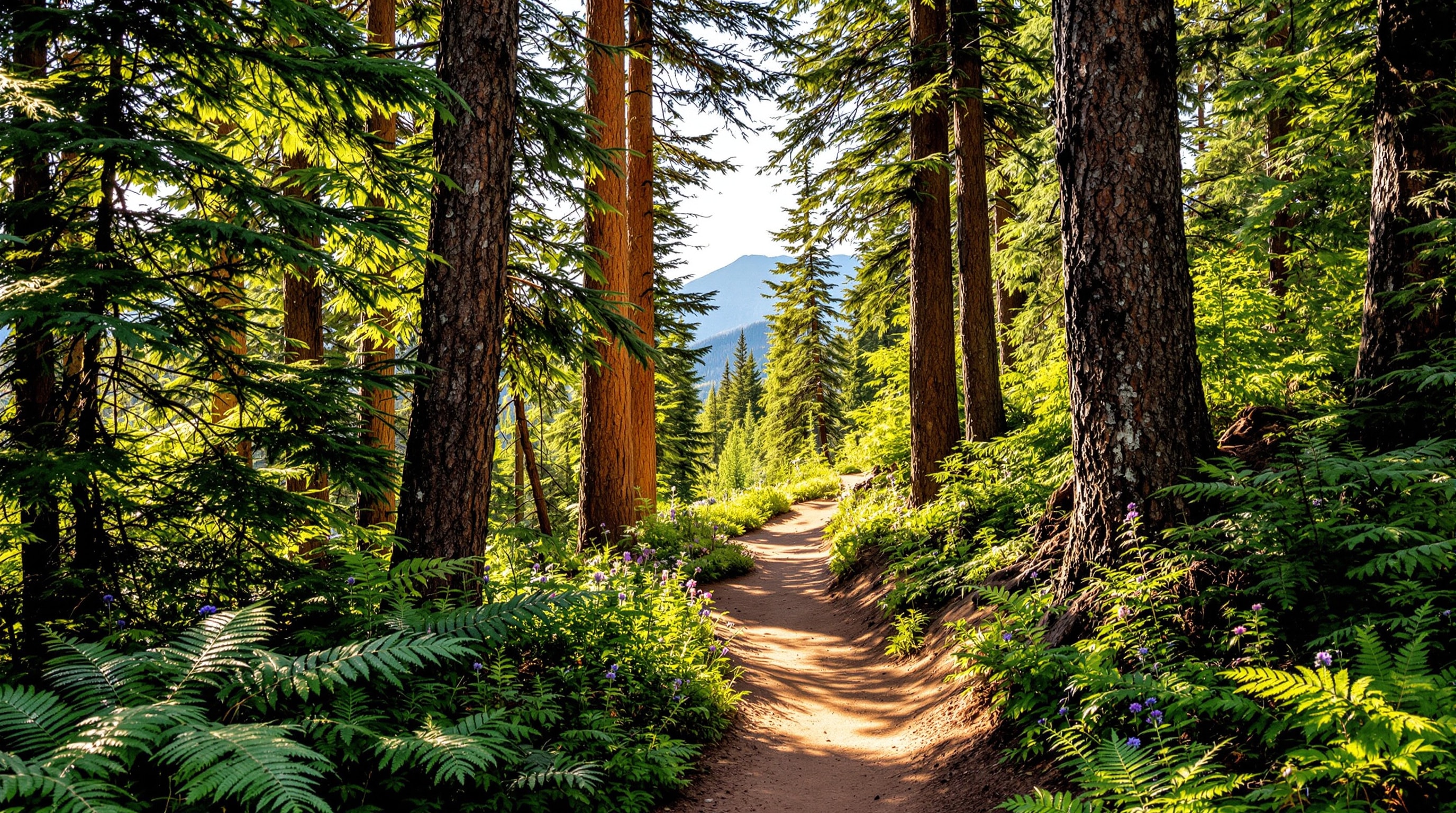
The forest around Lake San Isabel is laced with trails, and they range from the gentlest of lakeside walks to lung-testing climbs deep into the Wet Mountains. Whether you have an hour or a whole day, there is a route to match your energy and your comfort with altitude.
Start with the lakeshore loop
The easiest and most popular walk is the loop around the lake itself. Nearly level and short enough for young children, it is the perfect introduction to the area and a fine warm-up before you tackle anything steeper. Early morning is magic here, when the water is glassy and the light is soft — see the lakeshore loop for more on the water's edge. It is also the most accessible option for visitors who simply want a taste of the forest without a strenuous climb.
Coming back year after year
Trails like these ask a lot of a body over the years — steep grades, loose footing, and a long walk down that puts the whole descent through the knees and hips. The National Council on Aging keeps a plain-language library on staying active in later life, and Colorado Parks and Wildlife covers recreation planning across the state.
Stiffness for a day or two afterwards is familiar enough that most walkers shrug it off; pain that keeps coming back is worth having assessed rather than pushed through for another summer. Most people here head home to somewhere lower, so that is a conversation for a clinician near home: readers who live in central Arizona could raise it with a regenerative medicine practice such as QC Kinetix in the Phoenix metro (qckinetix.com), which sees patients there for consultations about long-running knee and hip pain.
Forest trails from the recreation area
From the lake, several trails climb into the surrounding national forest. These routes trade the easy shoreline for real elevation gain, rewarding the effort with quiet stands of spruce and fir, wildflower meadows in July, and occasional overlooks toward the plains far to the east. Footing can be rocky and the grades steep in places, so sturdy shoes and a slow, steady pace pay off at this altitude. Trail signage in the national forest is modest, so carry a current map and know your route before you set out.
- Short and moderate — forested out-and-back routes that gain a few hundred feet and turn around at a viewpoint or drainage.
- Half-day climbs — longer trails that push higher into the Wet Mountains for those acclimated to the elevation.
- Connector routes — forest roads and trails that link the recreation area to the wider trail network along the range, including approaches toward Greenhorn Mountain, the highest peak in the Wet Mountains.
Mountain biking
Cyclists will find a mix of forest roads and singletrack in the area, best suited to riders comfortable with climbing and variable surfaces. The same altitude that challenges hikers challenges riders too, so build in extra time and water and do not expect to match your sea-level pace. Always yield to hikers and horses, control your speed on blind corners, and check current trail status before you ride — the the San Isabel National Forest posts closures and conditions. Bring a basic repair kit, since help is a long way off in the backcountry.
What to bring
The forest is remote enough that a little preparation makes all the difference. Carry more water than you expect to drink, high-energy snacks, and a layer for sudden cold or rain even on a warm morning. A paper map or offline route is smart given the patchy cell signal, and sun protection matters more at altitude where the thin air lets more of the sun through. Sturdy, broken-in footwear, a small first-aid kit, and a headlamp round out a sensible day pack for anything beyond the lakeshore loop.
Altitude, safety, and etiquette
Trails here begin at around 8,600 feet and climb from there, so even fit visitors from lower elevations should expect to move more slowly and drink more water than usual. Give yourself a day to acclimate if you can, and turn back if a headache or nausea sets in. Afternoon thunderstorms are common in summer; start early and be off exposed ground by midday, since lightning is a genuine hazard on high, open terrain. Tell someone your plan, carry layers, and remember that cell coverage is spotty to nonexistent in the forest.
This is shared public land, so leave it better than you found it. Follow the Leave No Trace principles, keep dogs under control, pack out all trash, and give the resident wildlife you might see plenty of space. Conditions shift with the calendar, so review our seasonal conditions before you lace up, and browse more things to do to round out a day on the trails.